Geography Program offers training in drone use
Learn the fundamentals of UAV (unmanned aerial vehicle, aka drone)
operation and image capture in the Fall 2018 course GEOG 477,
Remote Sensing of the Environment. UAVs are used in Agriculture,
Natural Resources, Emergency Response, Law Enforcement, Planning
and Real Estate, and many other disciplines.
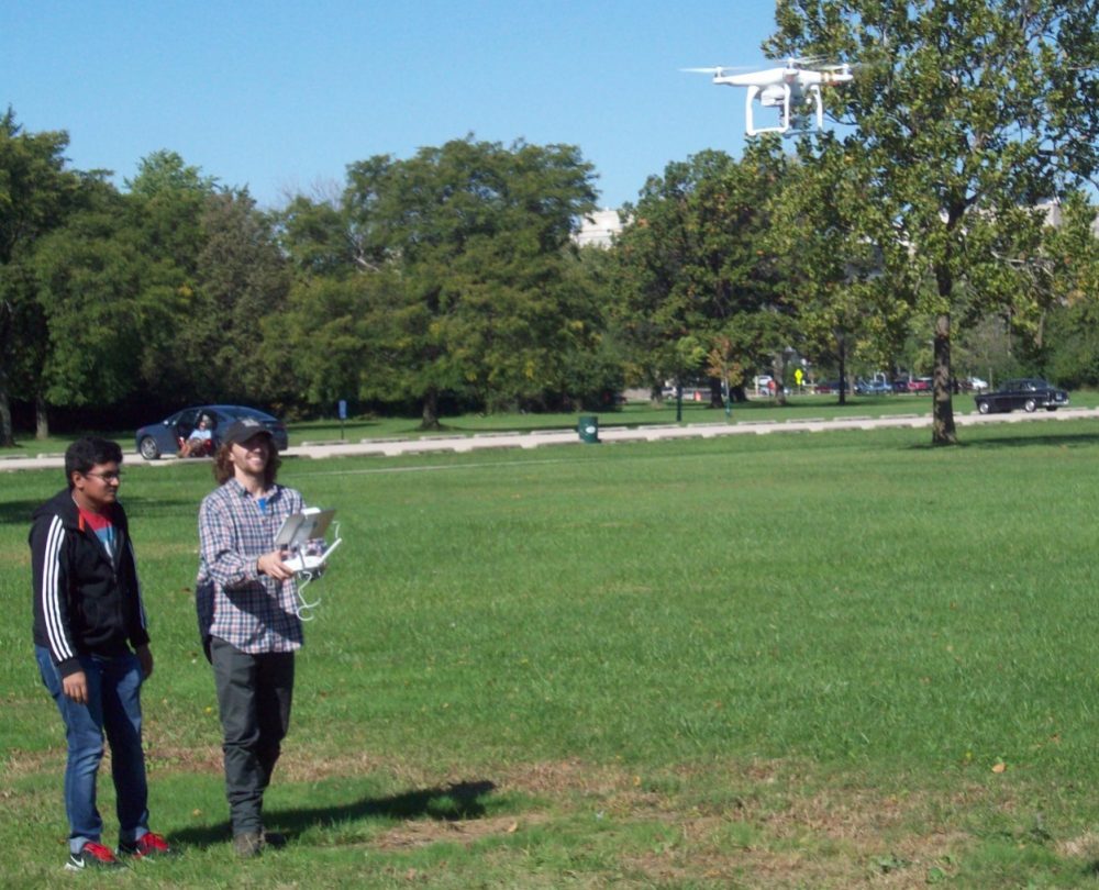
This class will offer hands-on training in the operation of a
DJI Phantom-3 Professional UAV system, including basic capture
of high-resolution digital aerial images. Post-processing
will involve the use of ERDAS IMAGINE software to georeference,
rectify, and mosaic image tiles.
The course will also include usage of WorldView-2 and -3 satellite
imagery to perform detailed mapping of the urban landscape in
Chicago. WV is high-resolution (50 and 30-cm) multispectral
(8-band) imagery. Also covered will be LandSat global imagery
and techniques of image enhancement, classification, and many
other remote-sensing tools for mapping landcover.
The class meets Thursdays 8:00-9:50 AM with Lab to be arranged.
The course is open to undergraduates and grad students alike,
and carries 4 credits in either case. There are no prerequisites.
Students must register for both the Lecture section (CRN 19757)
and Lab section (CRN 11588).
For more information, please contact:
Dr. Robert Hasenstab
Department of Anthropology and Geography
University of Illinois at Chicago
(312) 413-9577
email rjhasens@uic.edu
For more information, please contact:
Robert Hasenstab
rjhasens@uic.edu
Visit BSB Room 2167

Categories