UIC launches new interactive campus map
A new interactive UIC campus map is now live with an updated design that will improve the user experience.
“We refined the design and functionality of the map overlay so that the image has a higher resolution and loads faster,” said Patricia Pac, Director for Facility Information Management and Business Services in the Office of Planning, Sustainability and Project Management (PSPM).
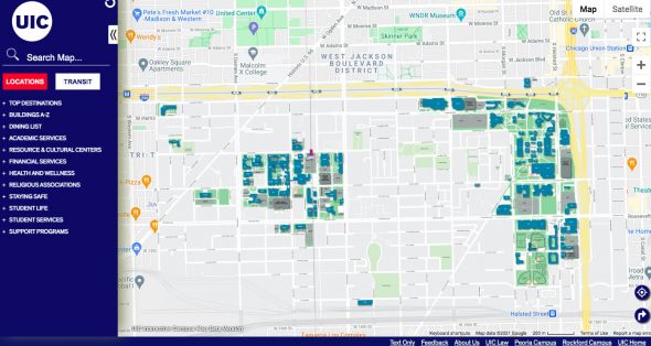
The map, which has as many as 10,000 users per month, underwent a redesign on the backend and has improved performance and search capabilities. For example, the “Search Map” feature connects the user to all map resources and location data; the “Transit” tab features information about parking, bike rack locations and Divvy bike stations on campus; and the “Accessibility” section provides a summary of accessible parking locations, accessible routes, accessible building entries as well as emergency phones, among many other map features.
The map connects users to a variety of locations and amenities on campus.
“We recently collaborated with PSPM’s sustainability team on capturing the locations of the water refill stations on campus, a resource that we have been frequently asked about in the past, and we also utilized the Student Handbook published by the Dean of Students to ensure that the new map contains everything that may be of interest to a UIC student,” Pac said.
Keeping the UIC student in mind, the map overlay is now connected to CTA data and CTA bus and train trackers surrounding UIC, allowing users to easily find walking, driving, biking and mass-transit directions all around campus.
“As we think about the future of UIC’s interactive campus map, we believe that it can become an effective tool to communicate UIC’s work and impact,” Pac said. “It also has a potential to help with recruitment as it can feature more immersive interactive tours, providing critical access to those unable to visit the campus in person.”
This project was a collaboration between two units in the Office of the Vice Chancellor for Administrative Services (OVCAS): PSPM and Technology & Building Systems. Madan Venkatesan, Associate Director, Business Solutions in OVCAS, and Jemma Ku, Assistant Director of Digital Accessibility in the Office for Access and Equity, also collaborated on the project.
“It took us much of 2021 to complete the map redesign and everything was done entirely in house,” Pac said.

Categories