Scientists solve a geologic puzzle: the Midcontinent Rift
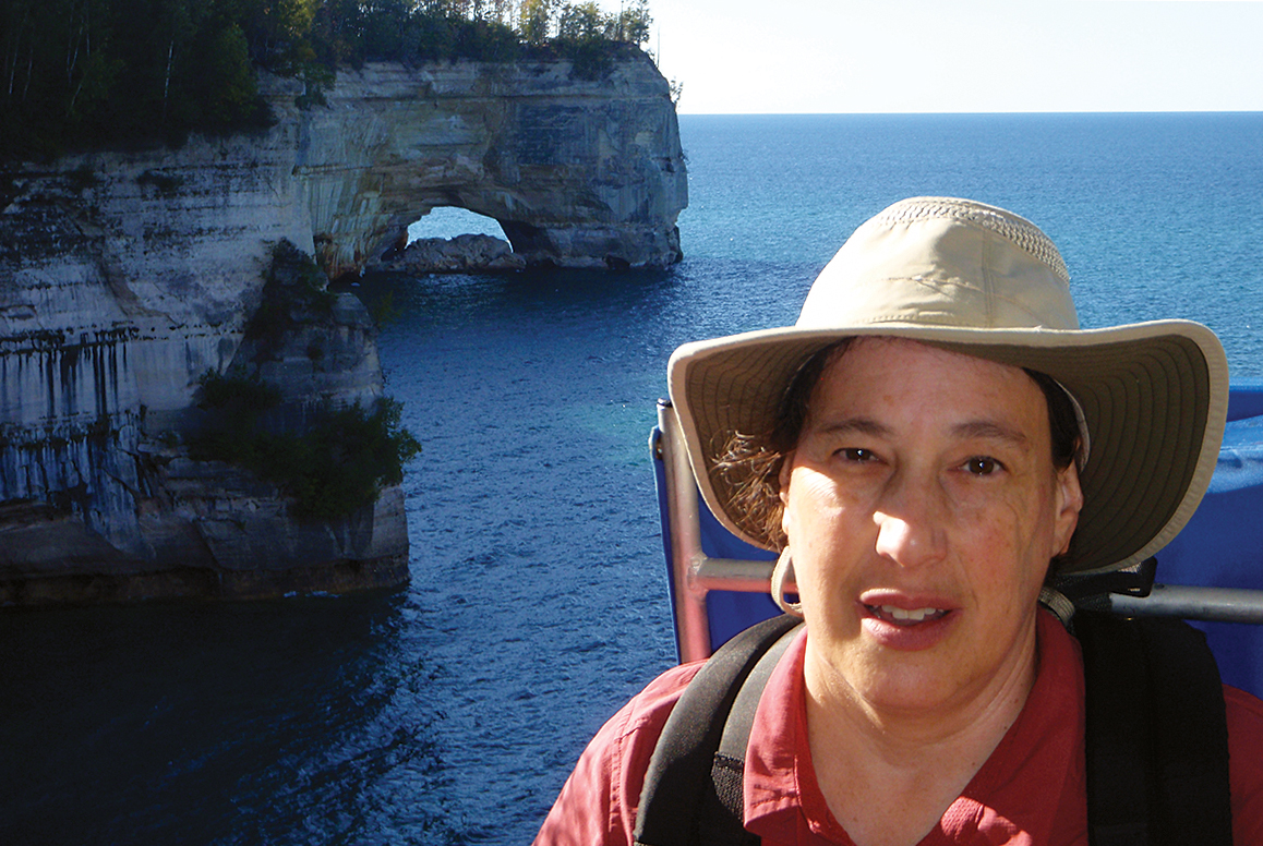
“We’ve never had a good explanation for what caused it,” says Carol Stein, professor of earth and environmental sciences, of the 2,000-mile-long rift that starts in Lake Superior and runs south to Oklahoma and Alabama.
By Megan Fellman
Geologists from UIC and three other universities have a new explanation for the Midwest’s biggest geologic mystery: what caused the giant 2,000-mile-long rift that starts in Lake Superior and runs south to Oklahoma and Alabama?
Their idea: the Midcontinent Rift formed when rocks now in South America rifted away from North America, forming a new ocean. As a result, rocks from the two sides match like pieces of a jigsaw puzzle.
“Although the rift made the Midwest’s best geology and scenery, we’ve never had a good explanation for what caused it,” said Carol A. Stein, UIC professor of earth and environmental sciences and lead author of the study with researchers from Northwestern University, the University of Oklahoma and Purdue University.
“The best we could do was to say that a plume of hot stuff came up under North America, for some unknown reason, and then stopped. That was never a satisfying explanation.”
A little more than a billion years ago, North America started to split, and 350,000 cubic miles of volcanic rock poured out. These rocks formed the valley that Lake Superior filled, and thick rock layers that are exposed in the rift’s northern reaches but are underground elsewhere.
The rocks of the Midcontinent Rift can be traced for thousands of miles underground because they are dense and highly magnetized.
To solve the puzzle, the geologists looked at a similar geologic feature forming today, the East African Rift that is splitting up Africa, causing the huge rift valley and volcanoes like Mount Kilimanjaro.
“The rift system is reaching from Africa and also rifting Arabia, forming new ocean basins in the Red Sea and Gulf of Aden,” said Seth Stein, William Deering professor of geological sciences at Northwestern.
“We see the same thing at other times in the past — rifts form and break continents apart. Once rifting succeeds in forming a new ocean, the leftover piece of rift shuts down. This seems to be how the Midcontinent Rift formed.”
Detailed mapping of the underground Midcontinent Rift using gravity data by G. Randy Keller, professor of geophysics at the University of Oklahoma in Norman and director of the Oklahoma Geological Survey, shows that the rift extends much farther than previously thought.
“It’s not just in the middle of the continent — it goes all the way to what was then the edge of the continent,” Keller said.
“The whole story now makes sense,” Carol Stein said.
“We used to think of the Midcontinent Rift as this weird feature that started and died in the middle of a continent. Now we realize it formed as part of the rifting that split rocks now in South America off from North America.
“So instead of being a mysterious special case, we realize it formed in a way that’s familiar to geologists and what we see today and in the past. That’s gratifying because scientists hate to invoke special cases.”
The study, published in the journal Geophysical Research Letters, is part of the National Science Foundation’s EarthScope program, in which geologists from across the U.S. are studying how North America formed.
— Megan Fellman is science and engineering editor at Northwestern University.
