All public transportation

October 13, 2023
For researchers tackling inequities, maps are a powerful toolFaculty across UIC use maps, data visualization in support of positive change
August 18, 2023
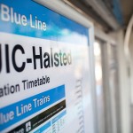
Blue Line project update: UIC-Halsted station to reopenService scheduled to return Aug. 20
July 9, 2015
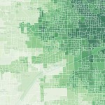
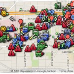
Online tool measures access to jobs, schools, parks and moreMaps jobs by distance across eight counties

December 9, 2014
UIC transportation forum questions governanceCan a change in governance improve transit?
June 3, 2014
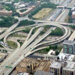
Morgan bridge reopening, Peoria closing now set for June 9Circle Interchange work delayed by weather, construction problems
May 27, 2014
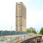
Circle reconstruction brings new entrance to campusPedestrian walkway updated in Circle Interchange reconstruction
January 21, 2014
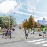
Planning to improve transportation on, around campusRegional project with UIC focus will improve safety, convenience
September 19, 2013
Blue Line ramp closureThe Morgan Street entrance and ramp to the platform of […]
September 9, 2013
Morgan Street bridge closes week of Sept. 9The Morgan Street bridge will be closed beginning the week […]
September 6, 2013
Parking lot changesDue to IDOT’s renovation of the Morgan Street Bridge, changes […]